198. Point Bonita Lighthouse Trail
 Yes, it’s a drag that the tunnel and bridge to the Point Bonita Lighthouse are closed while the bridge is being rebuilt, but the trail down to the tunnel is still an amazing place for wildlife, views and geology.
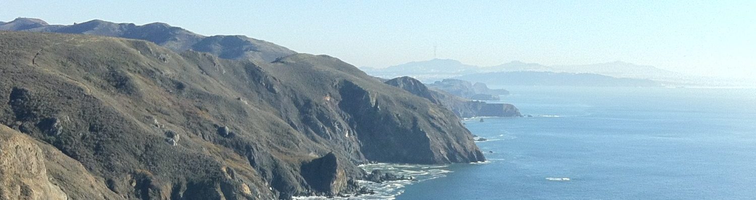
As soon as we pulled up, we saw a doe and her fawn, then walking down the trail, we could see Harbor Seals all over the rocks and sandy inlets below. The Common Mures were peppering the waters of the mouth of the Bay, and they were making a captivating chirping sound.
 You get a first hand view of how unstable the soils there are, because the asphalt path is littered with dirt and stones that have fallen down from the hillside to your right. The rock that the tunnel is chisled from is an amazingly visual example of the tipping of the North American plate as the Pacific plate moves under it. There’s a good display board that describes the geology of the area and land movements over time. Great geology lesson!
There are a number of photo-worthy views: back to the Golden Gate Bridge and San Francisco; directly south across the mouth of the Bay to Sea Cliff and the cliffs below Lincoln Park; west out to the Farallons; watching container ships move amazingly quickly from the horizon all the way under the Golden Gate Bridge; and north to Rodeo Beach.
Where: Fort Barry Road, Marin Headlands, Golden Gate National Recreation Area (map)

Leave a comment